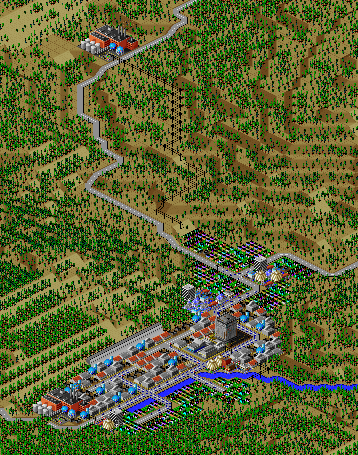
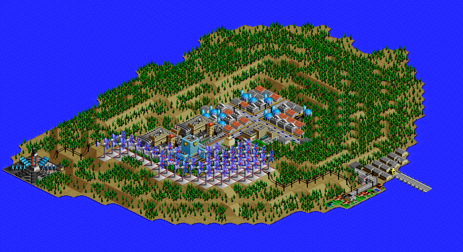
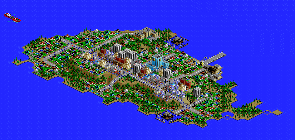
Full Tour
This section gives an overview of some of the highlights and history of the city.
Following this, the next section describes some of the ways I tried to explore all of the capabilities of the simulation.
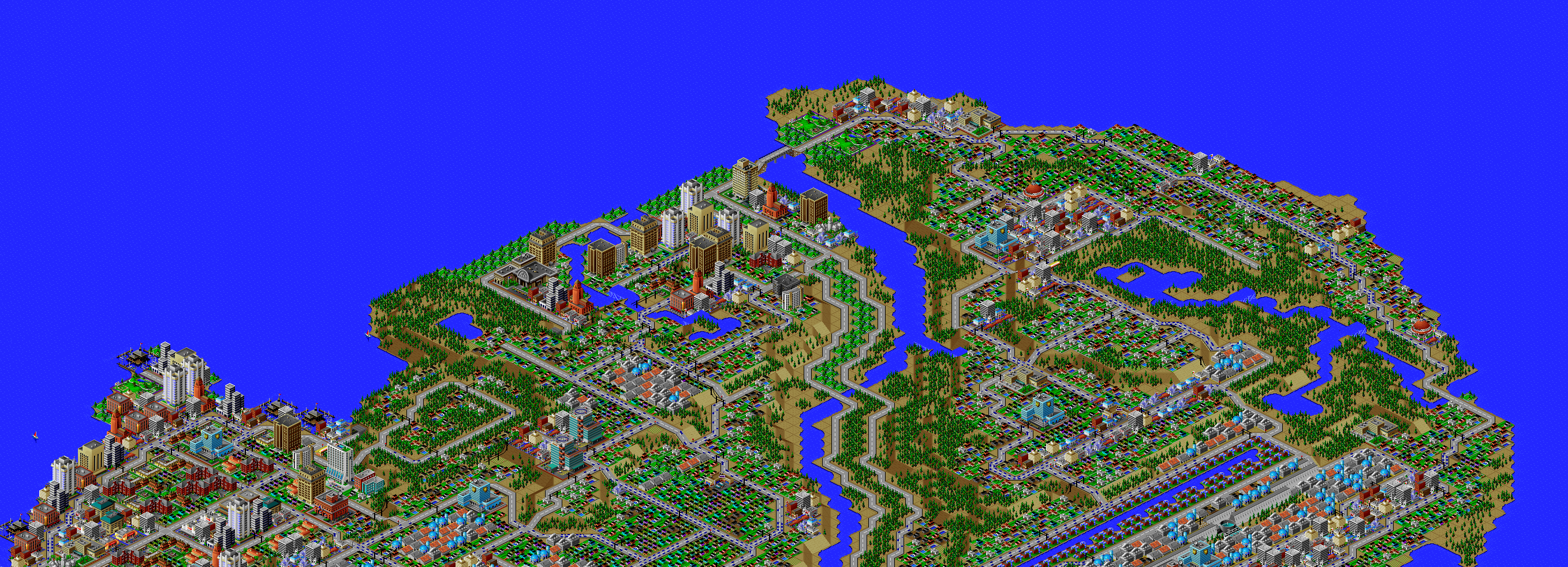
You may find it helpful to refer to the neighborhood map below, or open it in another tab, along with a pannable city view (such as this one).
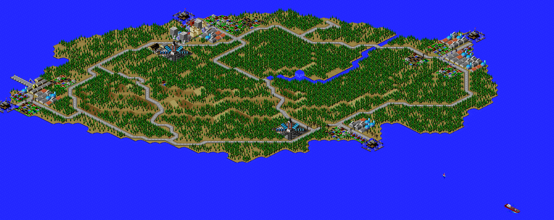
A map of the entire tour is here.
The black lines show city limits; the suburbs surrounding Port Washington are indicated with a color coding in the neighborhood names.
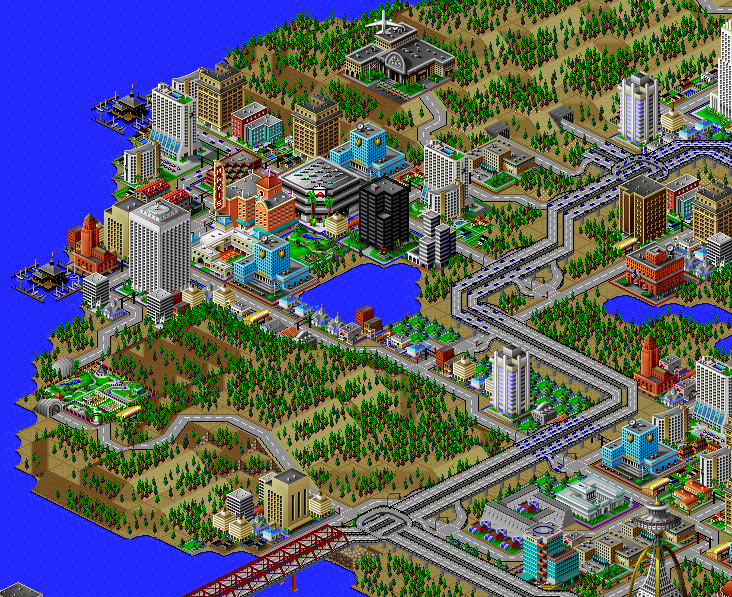
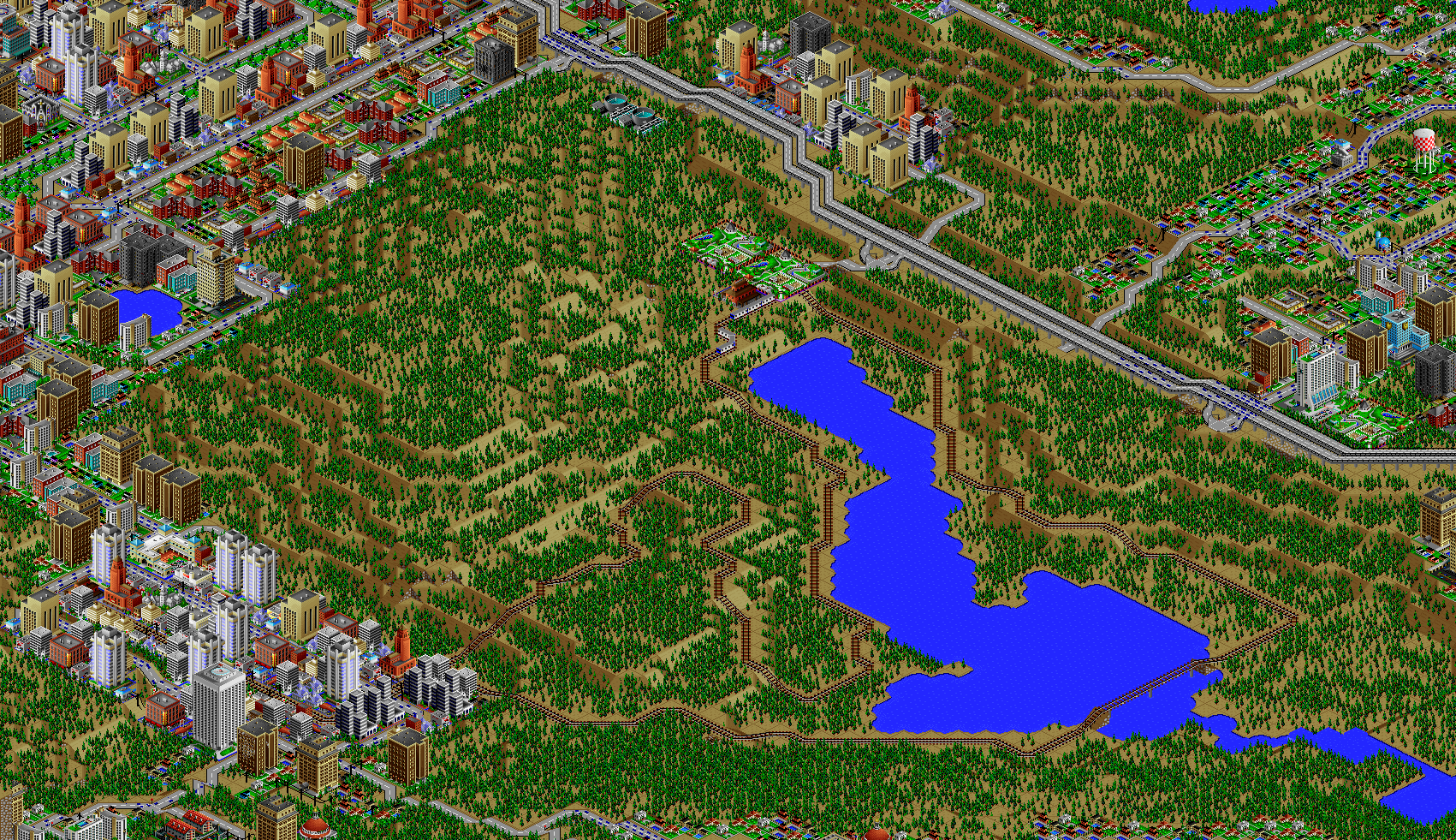
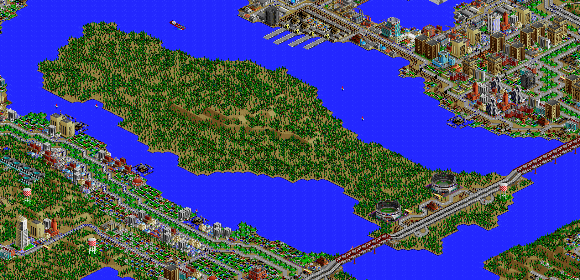
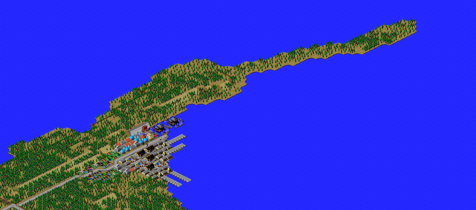
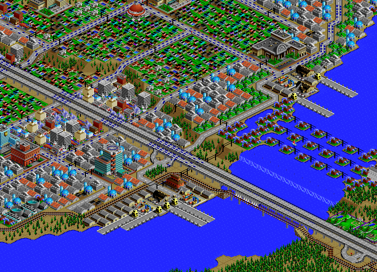
Central
(Image is facing northeast.)
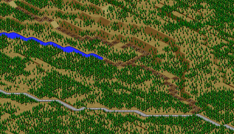
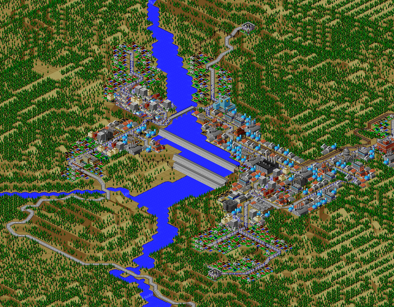
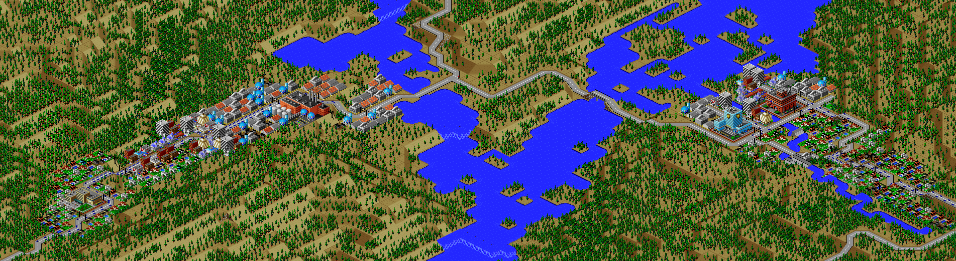
We'll start the tour in the oldest neighborhood in the city where Port Washington began, near the mouth of the Willow River.
The city was founded in 1859, and many of the earliest emigrants came from the United Kingdom.
Their influence is still felt in the naming of many neighborhoods and in the culture of the city.
City Hall is located here, along with some of the historic central churches.
Towards the left, you can see a greenbelt along with a large mansion.
This isn't the mayor's house, but a manor house where one of the reclusive Neptune Conglomerate owners is said to live.
Across the freeway to the north is a large cathedral, represented by the Llama Dome, and the central library complex.
If you look closely, you can see a few "subway-to-rail" connections in the middle of the city.
I use these to represent tunnels; SimCity 2000 is limited in how it treats tunnels, so I've used subways as fascimiles of roadway tunnels that can move more freely than the simulator permits.
Here, WA-909 (the Crosstown Bypass) has an underground segment that crosses the river.
The next stop on the tour is two miles to the northwest.
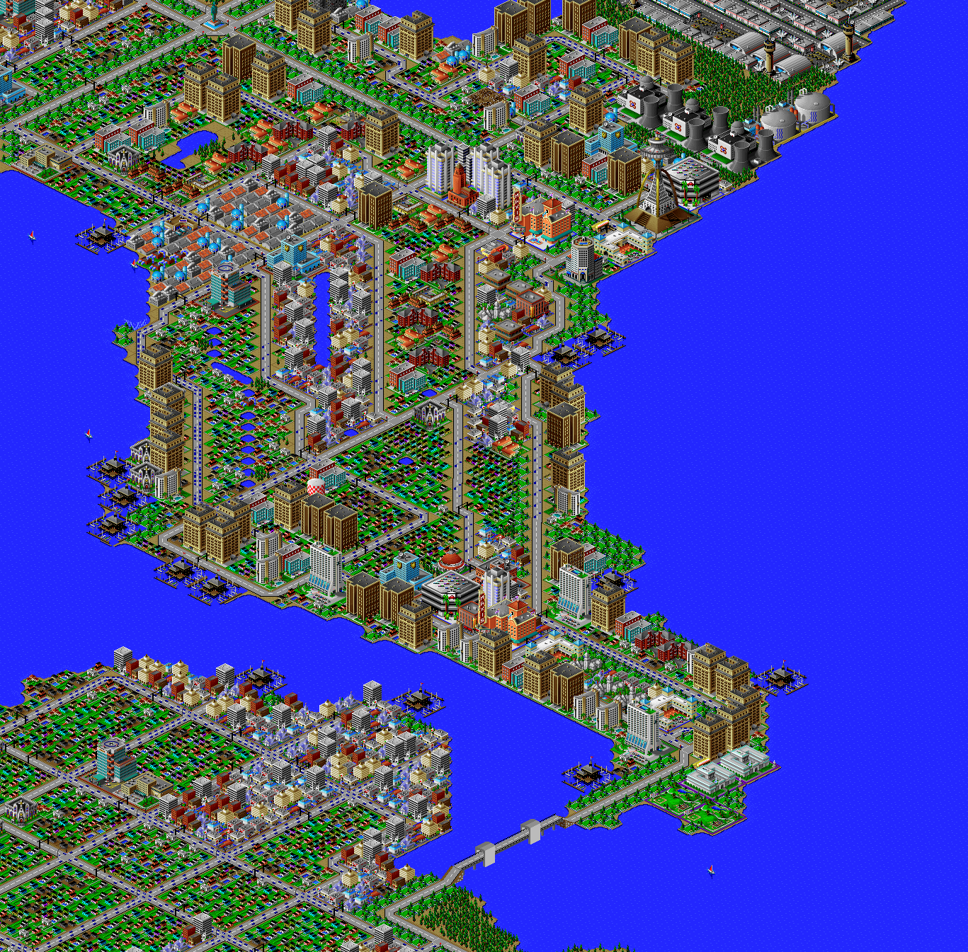
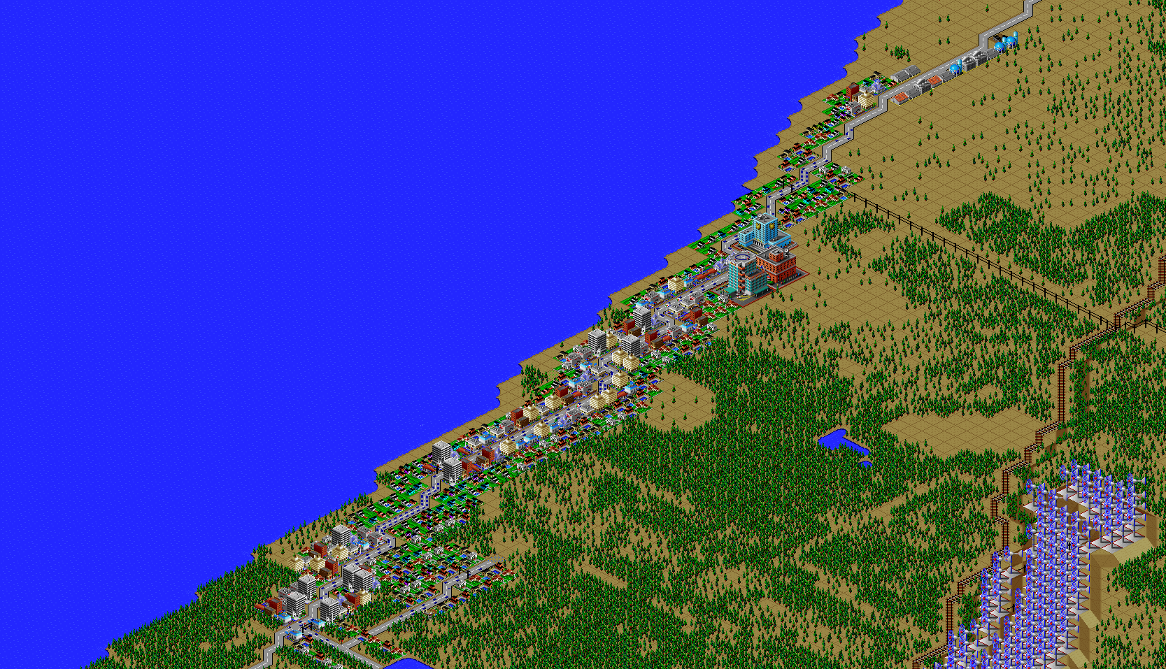
St. Christopher
(Image is looking northwest.)
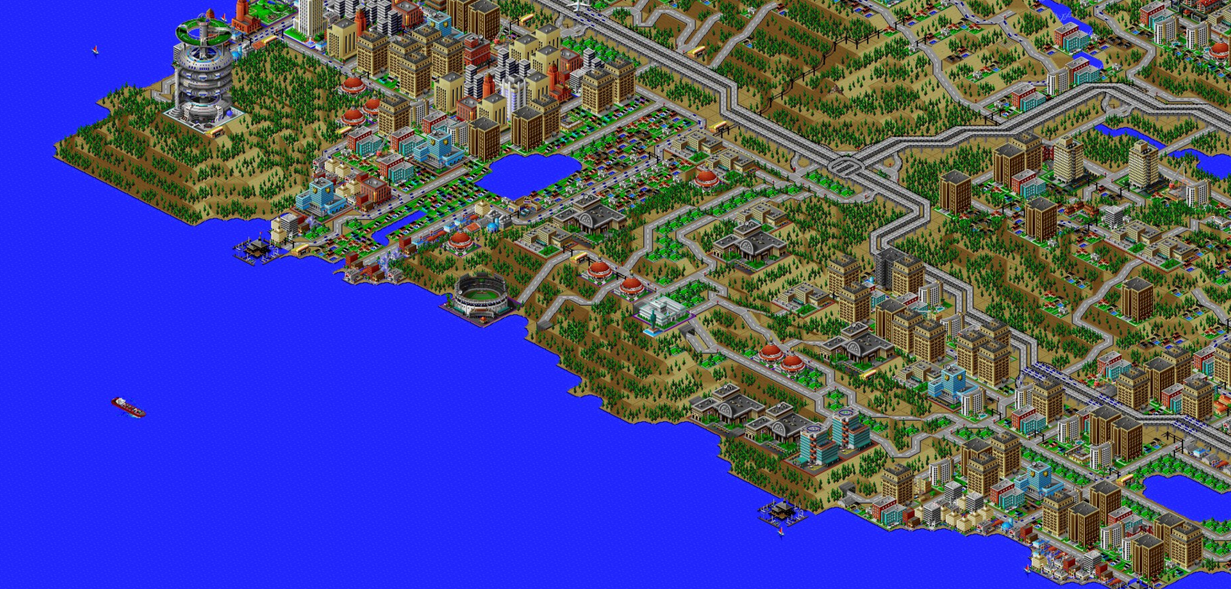
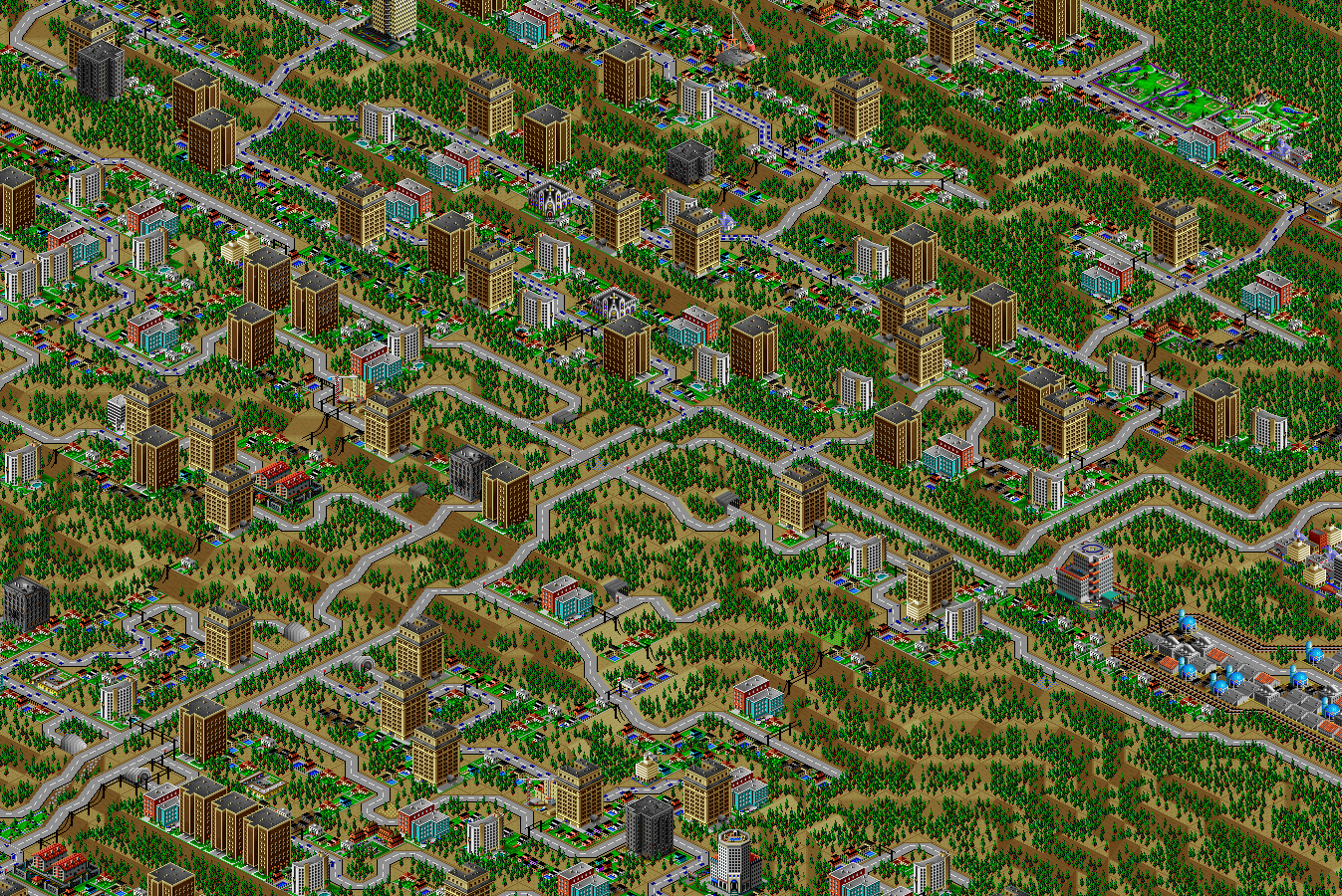
St. Christopher is the central business district of Port Washington, the densest commercial center in the city.
You can see a cliffside stadium for the baseball team at the top of the diagram, and a dual-bore freeway tunnel to the left; I again use the subway trick to curve these tunnels to the north.
The next stop on the tour is immediately south.
Nettleton
(Image is facing northwest.)
Nettleton is the main nightlife and entertainment district, located at the north side of the mouth of the Willow River.
The zoo represents the city's concert hall and performing arts center.
I know, the jokes write themselves, but this was the closest approximation I could find within what the simulator allows in terms of its impact on the city.
From here, head due south along the coast.
University of Port Washington
(Image is facing northeast.)
You'll pass by the Forest arcology, before encountering the University of Port Washington.
UPW is a large, public research university and the premier academic institution in the region.
In SimCity 2000, a "college" is just a 4x4 building occupying 16 acres.
I've chosen to represent larger entities with groupings of related buildings; in this case, colleges, schools, libraries, a museum, a beachfront stadium, and a hospital complex representing the medical school.
A park-lined boulevard passes through central campus, and off-campus student housing is to the right of the image.
From here, backtrack north, past Nettleton and Central, continuing along the Pacific coast.
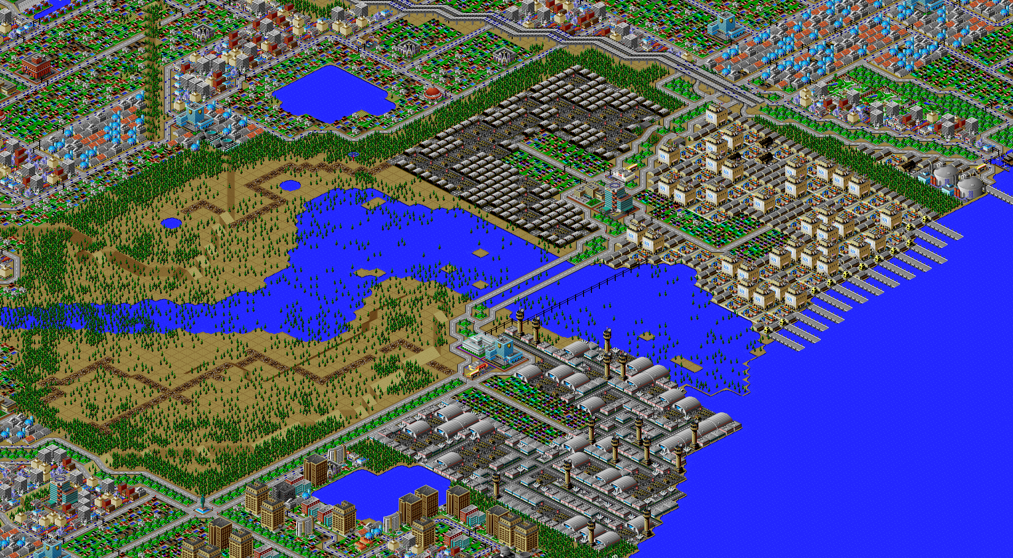
Port of Port Washington
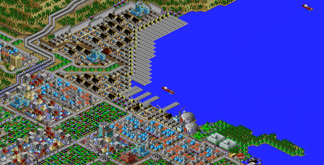
(Image is facing southeast.)
As the city has grown, increasingly-larger port facilities were needed to transport goods manufactured in the region, and to receive imports.
Here you see the city's largest port, with both rail and road connections.
In the lower right of the diagram, you can see a part of the Richmond Beach neighborhood, with a park complex housing the city's science and arts museums.
Now head inland to the northeast.
Port Washington International Airport
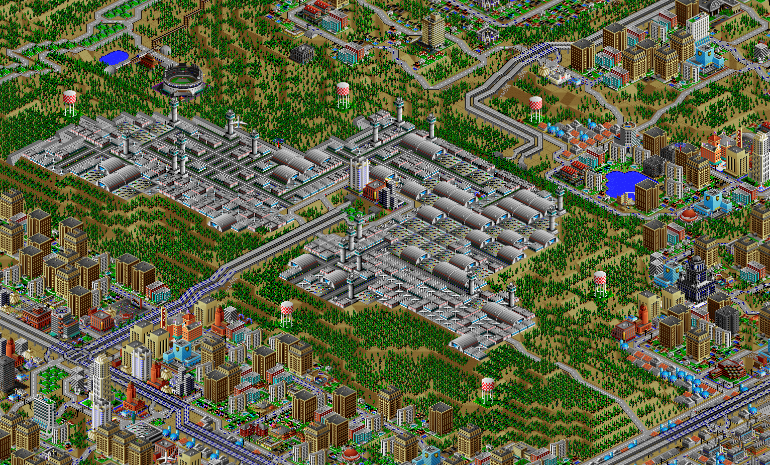
(Image is facing southeast.)
PWIA is the largest of the several airports in the region, and the main entry/exit point for international flights.
WA-905 (the Airport Freeway) connects the airport to St. Christopher to the south.
A small commercial complex in the center of the airport contains hotels and a conference center.
For the next stop, head northwest, back to the coast.
Joint Base Wharncliffe
(Image is facing southeast.)
Joint Base Wharncliffe is an amalgamation of three military installations: army, navy, and air force, along with a large training area for exercises.
I've used rubble tracks to indicate dirt, gravel, or other off-road paths, which will show up in a few other places in the city.
You can also see on-base housing and a school, the PX/BX shopping facilities, a medical center, and a military history museum.
Northwater
(Image is facing southeast.)
Just north of Joint Base Wharncliffe is the Northwater district.
This neighborhood has seen its ups and downs.
Historically known as an entertainment district, in recent decades it has fallen into decline as Nettleton and other trendier neighborhoods have risen.
Here you see the first true Llama Dome; such gaudy structures fit in perfectly during the district's heyday in the 60s and 70s, even as they appear dated now and are starting to show their age.
The northernmost tip of the district (the bottom of the diagram) has seen revitalization in the past years, and is now home to several luxury hotels and an upscale shopping district.
Will such developments be a positive for the neighborhood, or is it just a thin veneer of gentrification?
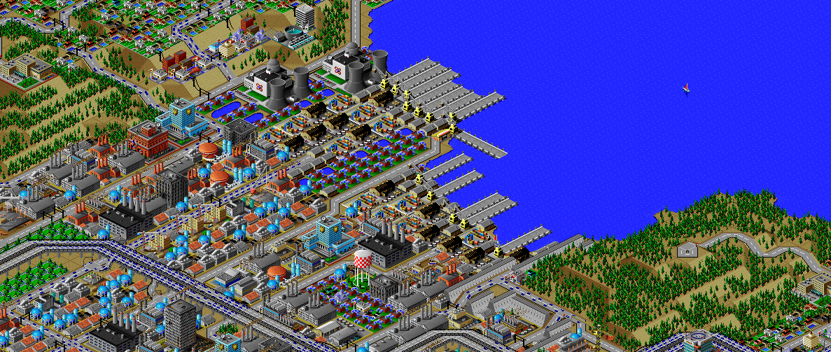
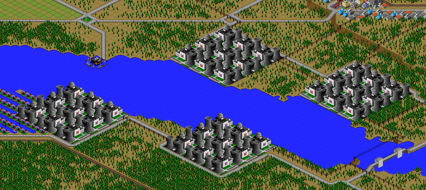
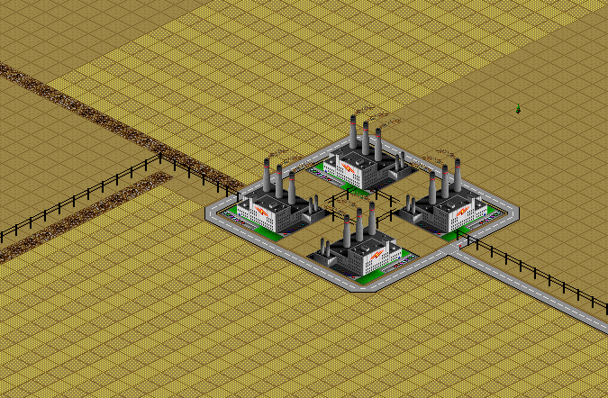
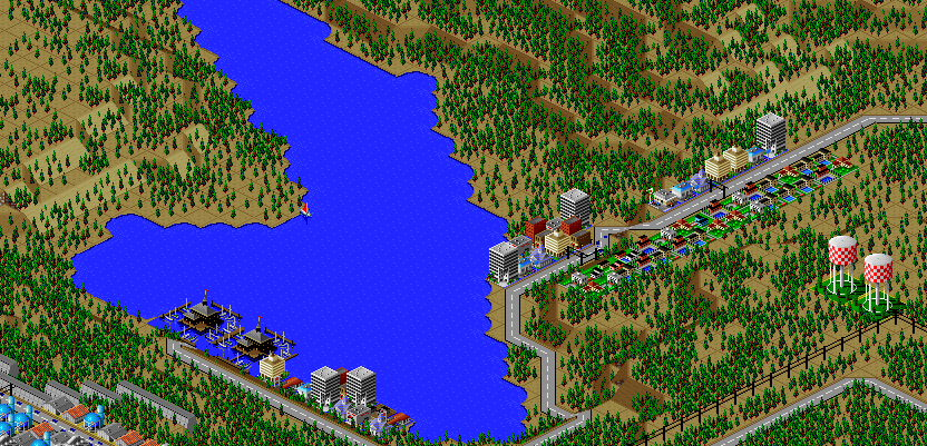
Power Island
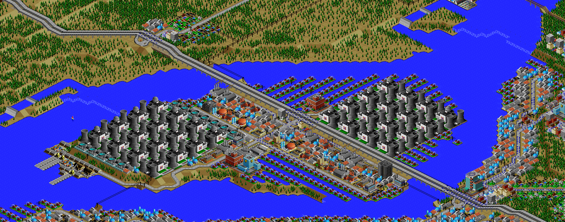
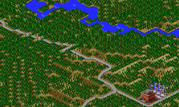
(Image is facing northeast.)
Now head east, to where I-1 crosses the Spring River.
This island houses two major nuclear power plants which supply electricity to much of the city, alongside water utilities (pumping and treatment).
SimCity 2000 doesn't allow you to transfer power between cities, and so I've done some "cheating" with hydro plants (see Simulator Tricks for more detail), but I've made sure that there are enough "real" power plants to provide electricity to all 81 cities in the set, and mega-plants like this are a key part.
Why nuclear, when fusion plants exist and are found in the city?
Fusion is a newfangled technology which is slowly being rolled out.
These large nuclear plants were built decades ago, but still function perfectly fine.
(You may also notice the lock built around the waterfall towards the upper right of the image.)
Continue further upstream to the east.
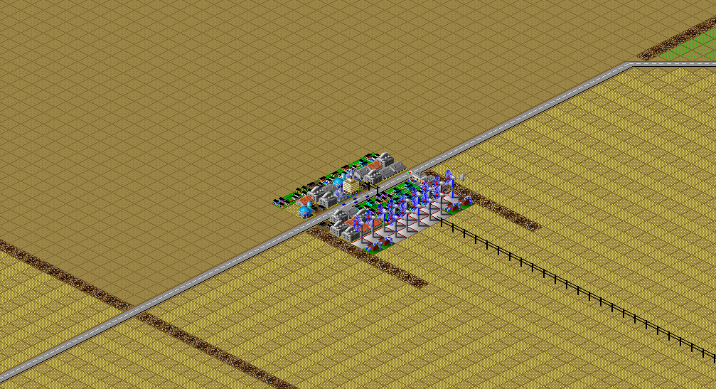
Speedway
(Image is facing southeast.)
There is a racetrack where US-101 crosses the Spring River, complete with a viewing area, and a train stop to help with mass transportation to and from the races.
Now head south, skirting the west side of the Washington Range mountains.
Nature Train
(Image is facing southwest.)
For a fun, educational adventure with the kids, take a ride on the nature train.
There's a zoo and visitors center at the start, and you can also hop off midway through for some upscale shopping in La Grange.
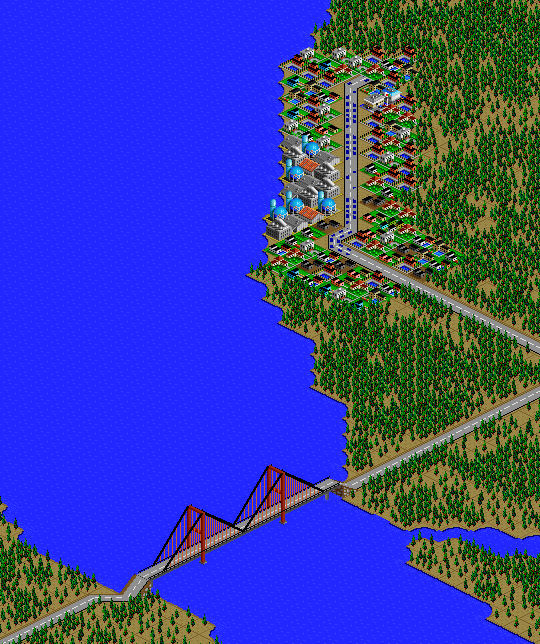
Terra Beata
(Image is facing northeast.)
From La Grange, head a short ways up the foothills, to the tony suburb of Terra Beata.
Luxury condos dot the hillside, with plenty of land set aside for greenbelts and parkland.
But don't let the "green lifestyle" advertising fool you; the residents have no interest in public transportation, and you won't find any subway service out here.
Hop on I-401 or US-101 southbound, and exit a few miles down the road.
Picardy Valley Park
(Image is facing northwest.)
Picardy Valley Park is one of the gems of the city, providing several square miles of green space in the urban heart of Port Washington.
There are plenty of hiking trails in this undeveloped park.
Notice that both rail and roadways through the park are tunneled underground to maintain the natural atmosphere.
Continue south on I-401.
St. Anne
(Image is facing northwest.)
This neighborhood is an example of a hard lesson in poor public planning.
Multiple freeways, highways, and major arterials all run through this neighborhood, with I-90, I-401, US-101, WA-909, and WA-910 all intersecting here.
Such design was following common practice in the 1950s, when these facilities were built, but currently form a major bottleneck.
Navigating the interchanges is confusing, leading to dangerous last-minute lane changes that disrupt traffic, and there are just too many roads.
The exclusive Annamarie neighborhood is seen at the bottom of the picture, featuring expansive homes overlooking the Willow River from a bluff.
Head south on the I-401 bridge.
Sojourner Island
(Image is facing northwest.)
Sojourner Island is mainly undeveloped, with a number of hiking trails.
The main exception is on the east end of the island, with two major sports stadiums for football and soccer.
Fans love seeing the trees and glimpses of the river in the open-air stadiums, but the nature lovers find the noise a bit disruptive and avoid the area when games are being played.
Continue on I-401 to the south bank of the river, then head upstream.
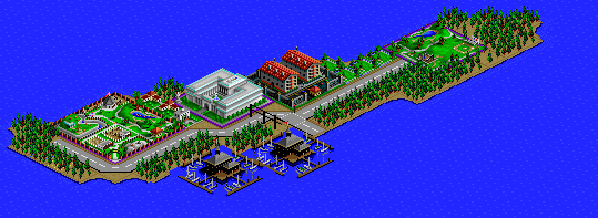
Washington Range Visitor Center
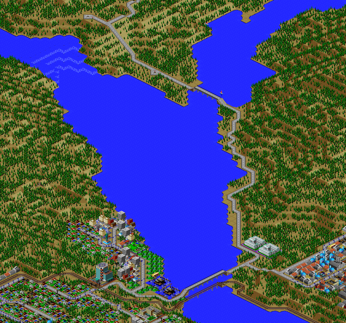
(Image is facing northwest.)
We'll spend more time exploring the national park later on in the tour, but for now I want to show you the main visitor center.
The waterfall in the upper left is the most popular attraction in the park.
In the bottom left of the photo, you can see a resort neighborhood where many vacationers choose to stay if they don't want to rough it camping in the park.
The next stop is a bit further away; get back on I-401 and follow it to University Boulevard (WA-907), which you'll take south.
Port Washington University
(Image is facing northwest.)
You'll pass through a nice park before reaching Port Washington University.
PWU is the other major research university in the region, not quite as selective as UPW but still well-regarded.
Continue just another mile or two down WA-907.
Plymouth
(Image is facing northwest.)
Plymouth was the first of the arcologies built in Port Washington, and played a major role in revitalizing the manufacturing industry.
It's not pretty, but it's still a major employer and production hub.
There are multimodal freight links (road, rail, and water) to transport goods for trade.
In addition to transportation, its location on the Fall River provides clean hydroelectric power.
Now turn back north to the coast.
Lenox
(Image is facing northwest.)
Lenox is an older, industrial part of the city.
The seaport in this neighborhood used to be the main regional shipping center until the Port of Port Washington opened.
The area has deteriorated some, but stately historic mansions still dot the bluff to the west, a relic of an earlier era of prosperity.
The hill to the east also hosts a scenic overlook to the ocean.
Geneva Point
(Image is facing northwest.)
Just west of Lenox, Geneva Point is a wealthy part of town.
Proceeding counterclockwise from the far right are the smaller neighborhoods of Kelvingrove, Hanson Beach, Waterlife, and Sugar Grove.
The left side of the image has the denser Adams neighborhood.
The waterfront property in this part of the city sells for top dollar.
Slane
(Image is facing northwest.)
Due south is the Slane, currently the largest manufacturing center in the region.
Industry is generally thriving in Port Washington, and during the day this neighborhood is full of workers.
However, the neighborhood empties out at night, and crime and itinerancy are persistent problems.
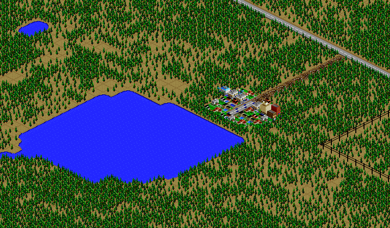
Kwalhioqua
(Image is facing northwest.)
A bit west is Kwalhioqua, a suburb which hosts the county fair.
Formerly an agricultural center, the area is urbanizing quickly, and there are tensions between long-time residents and newcomers.
Sprawl is particularly apparent to the south, along a major roadway that passes by a small regional airstrip and one of the major landfills.
Kwalhioqua is the outermost stop on a major commuter rail line to the city center, although the rail continues further out as a freight line.
(Hat tip to Dale Floer, from whom I borrowed the idea of marking farmland with empty zones.)
Southaven
(Image is facing northwest.)
All the way west to the Pacific Ocean, you will find the small fishing village of Southaven, nestled on the innermost side of a spit protecting it from ocean storms.
Thus far, Southaven has managed to maintain its rural character, but are the pressures of urbanization coming for them next?
There is also a ferry that departs from here, with stops along the islands in the bay and an express route to a north ferry terminal near Joint Base Wharncliffe.
Oceanside
(Images are facing northwest.);
Oceanside (top) becomes a resort town during the summer, with many Port Washington residents spending weekends here.
There are some other small communities in the area, including a summer camp on a lake.
Head upstream on the Fall River until you reach the namesake waterfall.
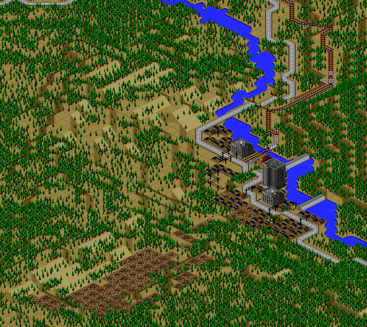
Fall River
(Image is facing northeast.)
The Fall River provides a maritime shipping route for goods manufactured at Plymouth, but the cascades at the fall line present an obstacle.
Drayage operations transfer cargo from the river upstream to ocean-bound vessels downstream of the falls.
South Battery
(Image is facing northwest.)
Further upstream the Fall River, you'll find the other main power plant for the region.
Head east into the Washington Range mountains.
Eatonside
(Images are facing northwest.)
There are a few communities tucked into the mountains.
Eatonside (top) is one of the larger ones; the unincorporated area in the bottom image is a much smaller one.
Head north to enter Washington Range National Park from its south end (opposite the visitors center we saw earlier on the tour).
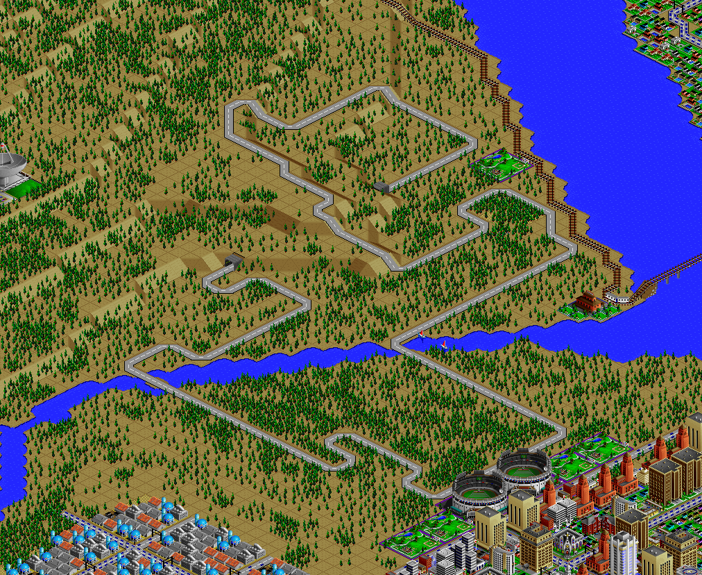
Washington Range National Park
(Images are facing northwest.)
Here are a few highlights from the park: hiking trails (marked by rubble), a ranger station, a historic ghost town (the location of an abandoned mine).
Exit the park on the east side, enjoying the great views from the bluff as you descend.
The East side
(Image is facing northwest.)
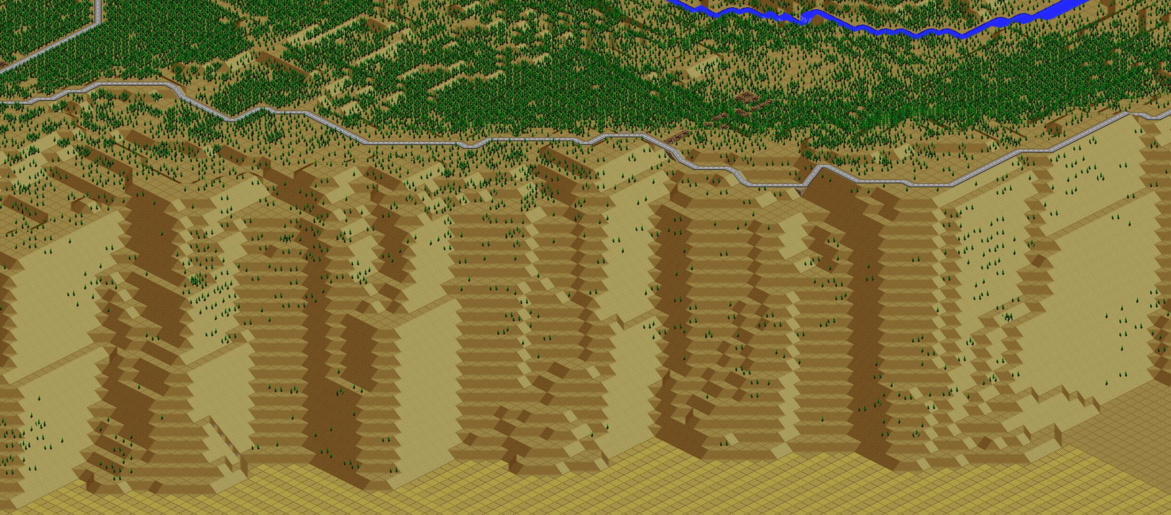
Washington Range forms a significant divide, geographically and culturally.
The climate is much more arid to the east, owing to the rain shadow effect from the mountains.
Agriculture is the dominant industry, and conservative politics are ascendant, causing tensions with the progressive-dominated urban areas on the coast.
West of the mountains, all of the power plants have been decarbonized; on the east side, you still see coal, oil, and gas-fired plants.
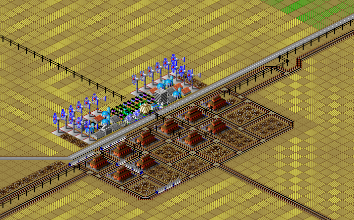
Here is a rail yard that serves as a major transfer point for freight in the region.
Solana
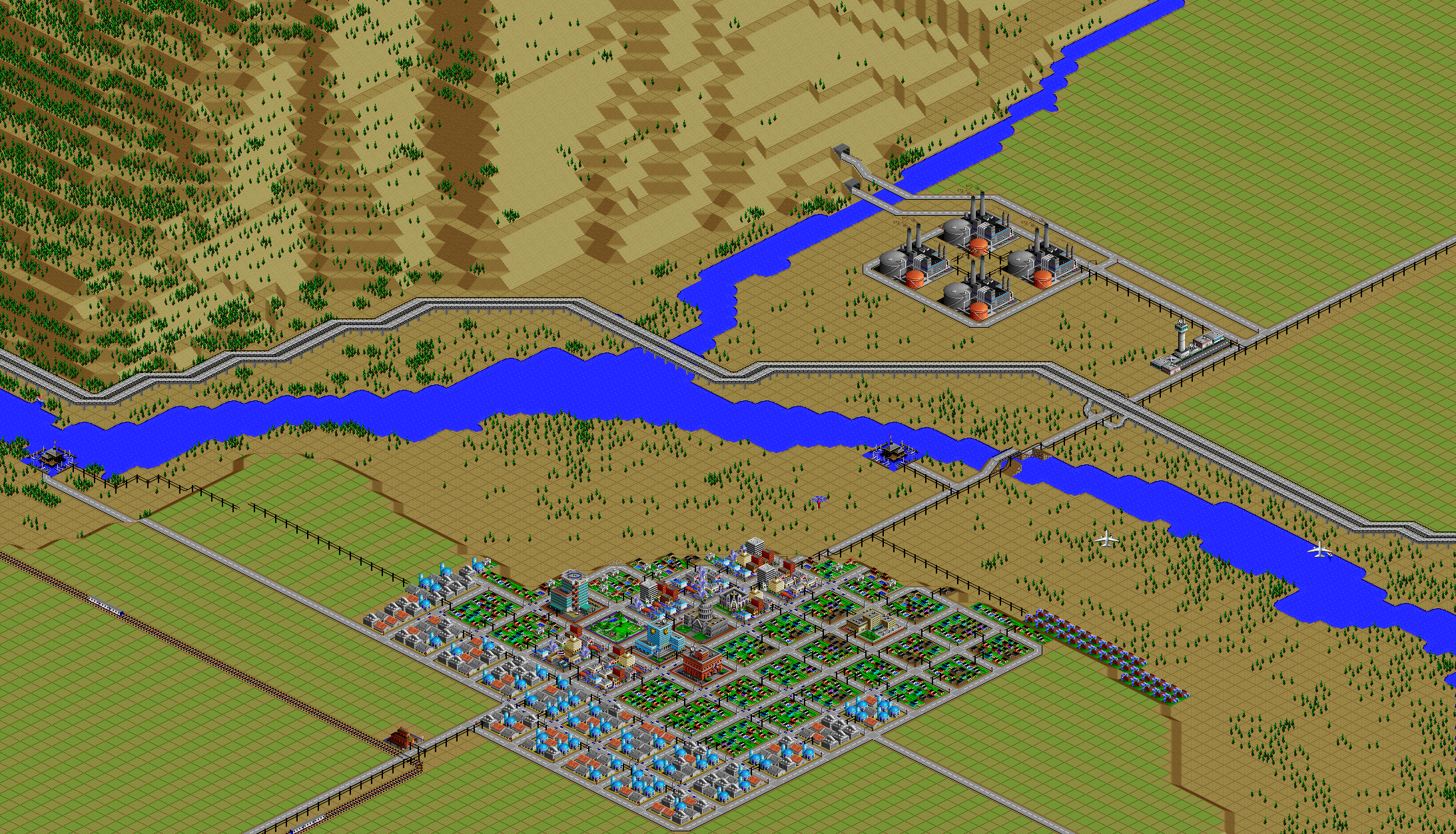
(Image is facing northwest.)
Solana is the largest community on the east side, sitting on a bluff south of the Willow River floodplain.
The oil refinery at the top of the image is the largest employer.
The tunnel you see there passes all the way through the mountain range, emerging six miles to the west in Terra Beata.
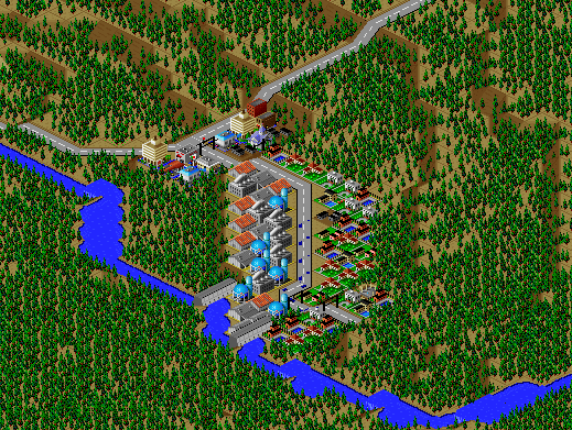
Solana Correctional Center
(Image is facing northwest.)
Just northeast of Solana is a high-security prison, surrounded by an electric fence.
Go back to Solana, hop on I-90, and head west back to the city.
Willow River Gorge
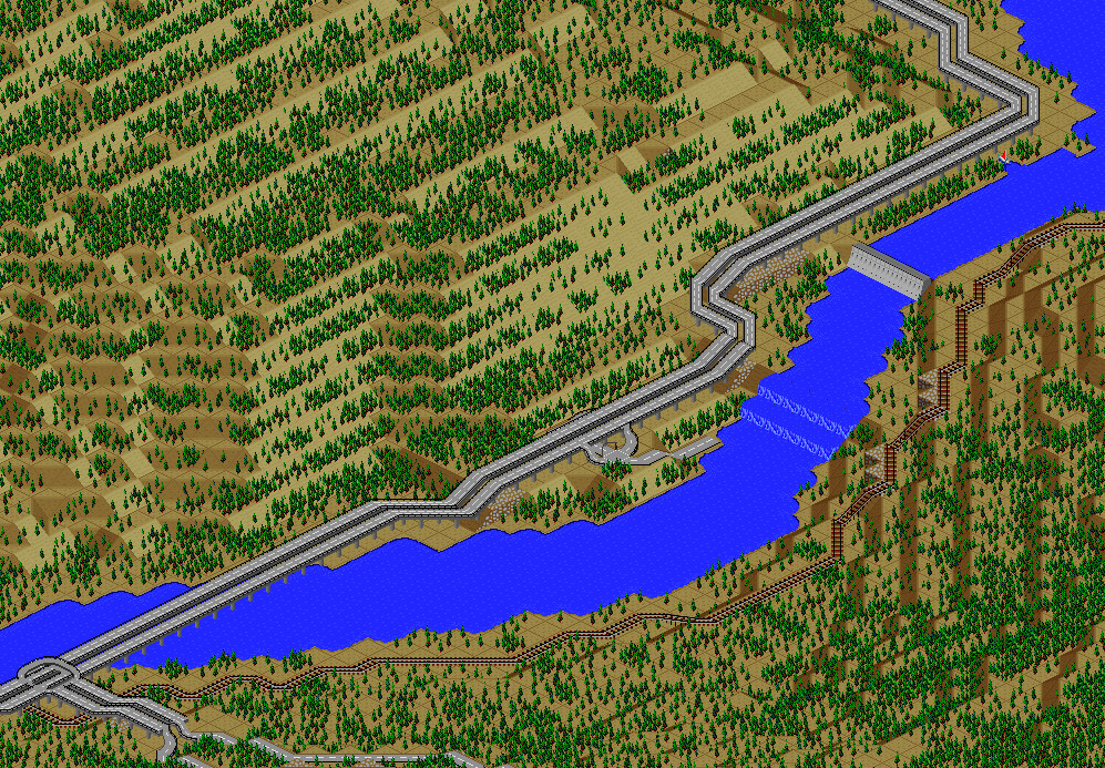
(Image is facing northeast.)
As you pass through Washington Range on the freeway, you'll see spectacular views, with river rapids and falls to one side, and forested hills to the other.
Be sure to stop at the scenic viewpoint to take in the surroundings.
Braebyrn
(Image is facing northwest.)
Back in Terra Beata, here is a very exclusive community that can only be reached by ferry across the river.
Hillchurch
(Image is facing southeast.)
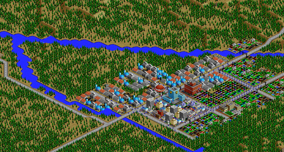
From Terra Beata, head north into the Washington Range until you reach the mountain community of Hillchurch.
Once a thriving timber town, Hillchurch fell into decline as a result of deindustrialization.
In recent years, it's seen a revival as a bedroom community, and the rail line originally built to carry timber directly to the Port of Port Washington has been repurposed as a commuter rail line to downtown.
Long-time residents are conflicted; the town is growing and vibrant again, but has it lost its unique culture?
Bridgewater and Rose of Sharon
(Images are facing southeast.)
As you head further north in the mountains, you'll come across some other communities with a similar history as Hillchurch.
They aren't as well connected to the city, so they've been spared the transformation that Hillchurch has faced, but continue to face economic struggles.
What is the path for these communities in the 21st century?
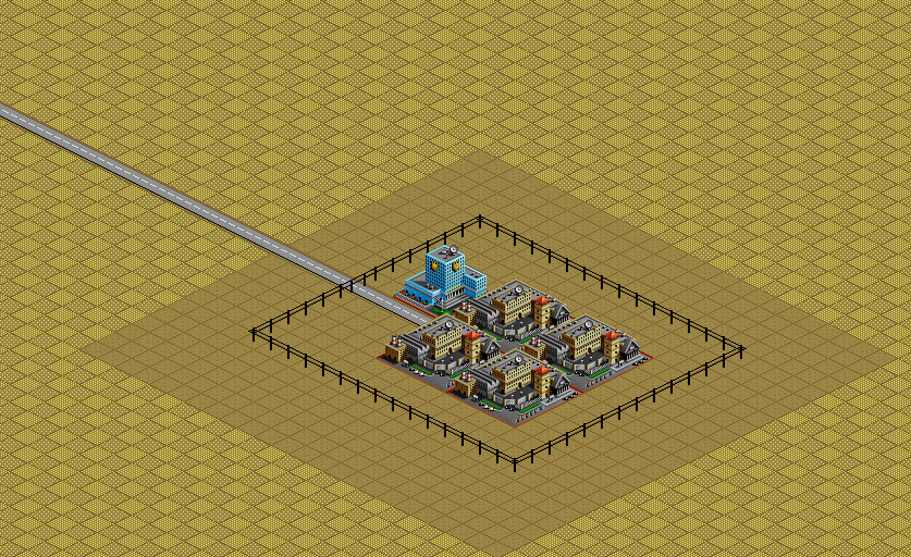
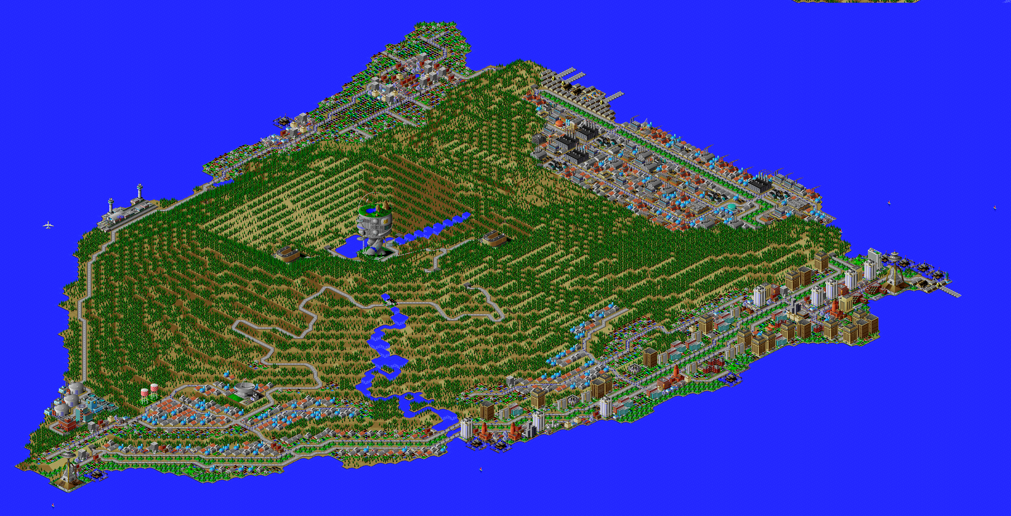
Defense Arcology Resilient Command Outpost (DARCO)
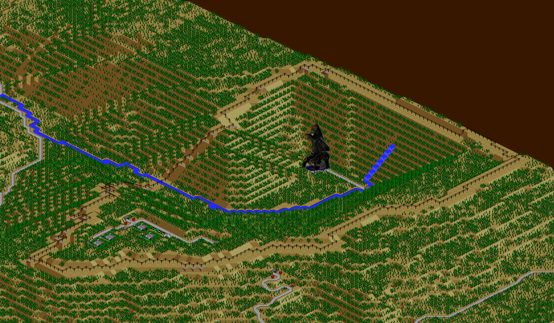
(Image is facing northwest.)
Tucked into a valley, you'll find a top-secret military research installation, guarded with a secure perimeter and electric fence.
What does arcology tech mean for the future of warfare?
North Landfill
 SimCity 2000 does not model waste disposal in cities, so I created two landfills in Port Washington, one here, and one south of the city.
Fishing village
(Image is facing northwest.)
Moving west to the coast, here is an unincorporated fishing village.
Hop on a boat and head south to tour some of the island communities.
Anderton Island Correctional Center
(Image is facing northwest.)
Here is another correctional facility, less brutal than Solana and more focused on rehabilitation.
You can see educational and vocational training facilities, and the island setting allows prisoners more freedom.
Vineyard Haven
(Image is facing southeast.)
A posh island community where many wealthy households summer.
Stock Island
(Image is facing southeast.)
A resort island.
Sherman Island
(Image is facing northwest.)
A larger, quieter island containing several small communities, including an arts commune.
Grand Isle
(Image is facing northwest.)
The tour concludes on Grand Isle, the largest and most populated island in the bay.
The Neptune Conglomerate is headquartered on the island, near the east ferry terminal and Llama Dome.
These island headquarters are the public face of the organization, but the island also conceals a secret research laboratory in the interior.
I've shown a cutaway in the maps above, but Launch Arco is actually buried underground, underneath the island's peak.
What revolutionary (or bizarre) technologies will be revealed next?
Back to Port Washington, to potpourri, or the main page.